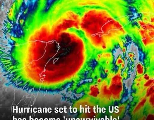
🌪 Hurricane Risk in the U.S. – Key Insights/ 1. High-Risk States & Frequency of Landfalls- Florida leads the nation in hurricane landfalls (about 120 since 1851, with 37 major Category 3+ storms).
Other top states: Texas (66 total, 19 major), Louisiana (58, 18 major), North Carolina (58, 7 major), plus South Carolina, Alabama, Georgia, Mississippi, Virginia, and even New York. Coastal “hot spots”: South Florida: a major hurricane about every 14–19 years, North Carolina’s Outer Banks: every 5–7 years, Northern Gulf Coast: every ~10 years
2. Storm Surge Risk – All U.S. coastal areas are vulnerable to storm surge, with Gulf Coast regions being especially high-risk due to flat terrain. Cities like Miami, New Orleans, Tampa, New York, and Savannah are particularly exposed.
3. Flash Flooding & Inland Impacts – Inland flooding causes around 60% of hurricane-related deaths. Even regions far from the coast (like inland Texas) face growing risks as storms retain strength further inland.
4. Climate Change Trends – Climate change is pushing hurricane risk inland — by mid-century, nearly 1 in 3 Americans could face hurricane-force winds, including in states like Tennessee and Arkansas. The percentage of major hurricanes (Category 3+) has climbed from about 10% in the 1980s to nearly 40% today.
5. Tools & Resources FEMA’s National Risk Index and NOAA’s storm surge maps are key tools for visualizing hazard exposure, expected losses, and community vulnerability.
